Vanguard Way down to the M25
Introduction
The photograph on this page of Vanguard Way down to the M25 by Ibn Musa as part of the Geograph project.
The Geograph project started in 2005 with the aim of publishing, organising and preserving representative images for every square kilometre of Great Britain, Ireland and the Isle of Man.

There are currently over 7.5m images from over 14,400 individuals and you can help contribute to the project by visiting https://www.geograph.org.uk
Vanguard Way down to the M25
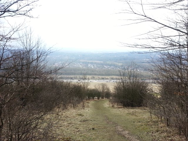
Image: © Ibn Musa Taken: 30 Mar 2013
Descending North Downs scarp slope on the Vanguard Way, facing S towards M25. GMT line is nearby.
Images are licensed for reuse under creativecommons.org/licenses/by-sa/2.0
Image Location
Latitude
51.269007
Longitude
-0.013485