Road junction north-west of Caunsall in Worcestershire
Introduction
The photograph on this page of Road junction north-west of Caunsall in Worcestershire by Roger D Kidd as part of the Geograph project.
The Geograph project started in 2005 with the aim of publishing, organising and preserving representative images for every square kilometre of Great Britain, Ireland and the Isle of Man.

There are currently over 7.5m images from over 14,400 individuals and you can help contribute to the project by visiting https://www.geograph.org.uk
Road junction north-west of Caunsall in Worcestershire
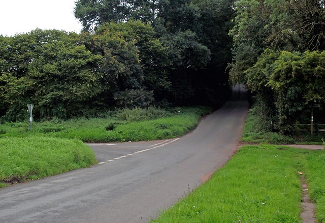
Image: © Roger D Kidd Taken: 23 Aug 2017
Seen from Cookley Lane, straight ahead is Kinver Road (leading to Cookley), and off to the left is Kinver Lane, (leading to Caunsall).
Images are licensed for reuse under creativecommons.org/licenses/by-sa/2.0
Image Location


Leaflet Map data © OpenStreetMap
Latitude
52.430629
Longitude
-2.228072