Christchurch: public footpath to the riverbank
Introduction
The photograph on this page of Christchurch: public footpath to the riverbank by Chris Downer as part of the Geograph project.
The Geograph project started in 2005 with the aim of publishing, organising and preserving representative images for every square kilometre of Great Britain, Ireland and the Isle of Man.

There are currently over 7.5m images from over 14,400 individuals and you can help contribute to the project by visiting https://www.geograph.org.uk
Christchurch: public footpath to the riverbank
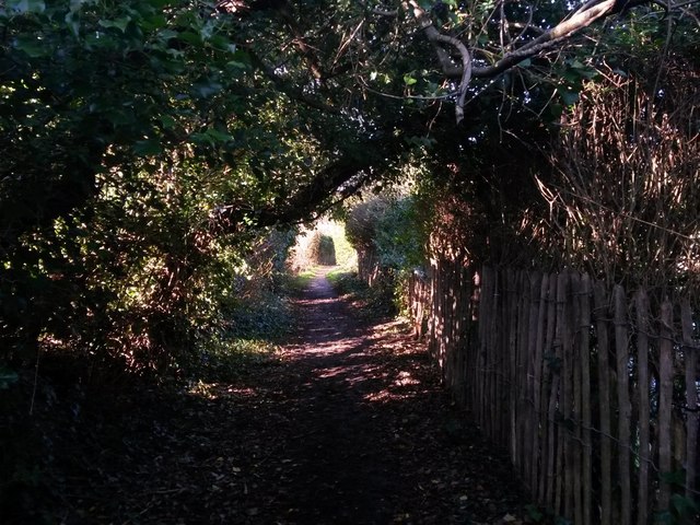
Image: © Chris Downer Taken: 17 Feb 2018
This public footpath from Stour Road suddenly leaves behind a modern side-road alongside it and has a rural feel. It doesn't go very far - just to the riverbank with no access in either direction once there.
Images are licensed for reuse under creativecommons.org/licenses/by-sa/2.0
Image Location
Latitude
50.733457
Longitude
-1.790236