Dumbarton Foreshore Walk
Introduction
The photograph on this page of Dumbarton Foreshore Walk by Lairich Rig as part of the Geograph project.
The Geograph project started in 2005 with the aim of publishing, organising and preserving representative images for every square kilometre of Great Britain, Ireland and the Isle of Man.

There are currently over 7.5m images from over 14,400 individuals and you can help contribute to the project by visiting https://www.geograph.org.uk
Dumbarton Foreshore Walk
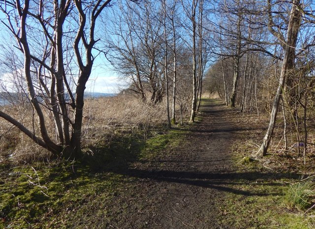
Image: © Lairich Rig Taken: 9 Feb 2018
At the end of the nineteenth century, the area from here to about 200 metres ahead was part of a rifle range; see Image The distance just given is approximate; the 1896 map does not specify the boundaries or the extent of the rifle range.
Images are licensed for reuse under creativecommons.org/licenses/by-sa/2.0
Image Location
Latitude
55.935806
Longitude
-4.548268