Farmland off Ealinghope Lane, Doddenham
Introduction
The photograph on this page of Farmland off Ealinghope Lane, Doddenham by Bob Embleton as part of the Geograph project.
The Geograph project started in 2005 with the aim of publishing, organising and preserving representative images for every square kilometre of Great Britain, Ireland and the Isle of Man.

There are currently over 7.5m images from over 14,400 individuals and you can help contribute to the project by visiting https://www.geograph.org.uk
Farmland off Ealinghope Lane, Doddenham
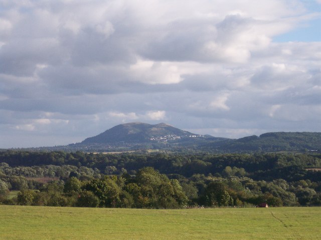
Image: © Bob Embleton Taken: 23 Sep 2005
Looking out towards the Malvern Hills. The Teme valley lies in the dip beyond the fields.
Images are licensed for reuse under creativecommons.org/licenses/by-sa/2.0
Image Location


Leaflet Map data © OpenStreetMap
Latitude
52.207042
Longitude
-2.370188