The way to Guildford Cathedral
Introduction
The photograph on this page of The way to Guildford Cathedral by Stephen McKay as part of the Geograph project.
The Geograph project started in 2005 with the aim of publishing, organising and preserving representative images for every square kilometre of Great Britain, Ireland and the Isle of Man.

There are currently over 7.5m images from over 14,400 individuals and you can help contribute to the project by visiting https://www.geograph.org.uk
The way to Guildford Cathedral
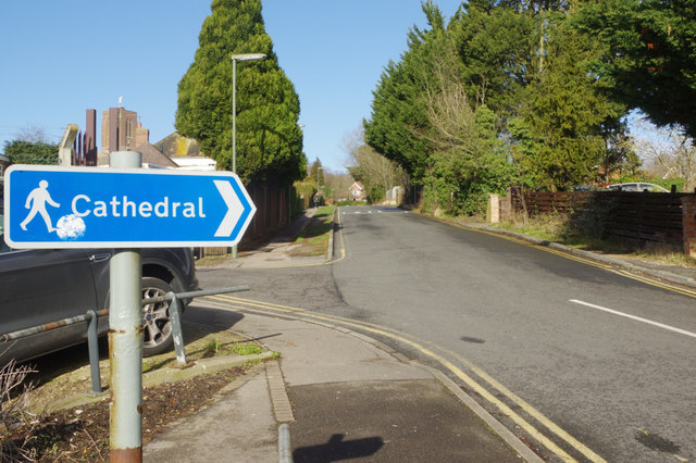
Image: © Stephen McKay Taken: 15 Feb 2018
Guildford's 20th century cathedral is approached through a maze of suburban roads. The route for pedestrians coming from the town centre takes them along this uninspiring street, called Ridgemount. The cathedral tower can be seen immediately above the sign.
Images are licensed for reuse under creativecommons.org/licenses/by-sa/2.0
Image Location
Latitude
51.238296
Longitude
-0.586114