Field House Sand Hole
Introduction
The photograph on this page of Field House Sand Hole by Trevor Littlewood as part of the Geograph project.
The Geograph project started in 2005 with the aim of publishing, organising and preserving representative images for every square kilometre of Great Britain, Ireland and the Isle of Man.

There are currently over 7.5m images from over 14,400 individuals and you can help contribute to the project by visiting https://www.geograph.org.uk
Field House Sand Hole
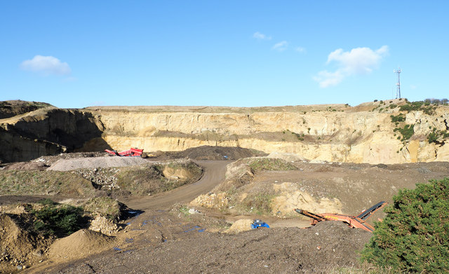
Image: © Trevor Littlewood Taken: 15 Feb 2018
The quarry that is Field House Sand Hole, north-east of Houghton-Le-Spring, is marked clearly on OS maps at the 1:50 000 scale but at 1:25 000 although the name is there, the extent of the excavation is by no means apparent. The view is from the public footpath passing the cavity on the south side.
Images are licensed for reuse under creativecommons.org/licenses/by-sa/2.0
Image Location
Latitude
54.849223
Longitude
-1.448962