Path from Dumbarton Foreshore
Introduction
The photograph on this page of Path from Dumbarton Foreshore by Lairich Rig as part of the Geograph project.
The Geograph project started in 2005 with the aim of publishing, organising and preserving representative images for every square kilometre of Great Britain, Ireland and the Isle of Man.

There are currently over 7.5m images from over 14,400 individuals and you can help contribute to the project by visiting https://www.geograph.org.uk
Path from Dumbarton Foreshore
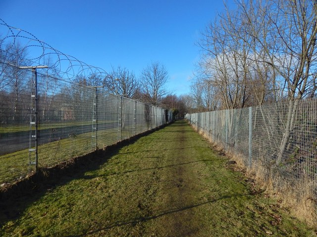
Image: © Lairich Rig Taken: 9 Feb 2018
As the 1:25000 map shows, the path is bounded on the left (southwest) by a sewage works (Image), and on the right (northeast) by a railway line. About 50 metres ahead, the path ends at the Image From there, a short road leads in the same direction to meet Castlegreen Street. See Image for a view in the opposite direction along the path.
Images are licensed for reuse under creativecommons.org/licenses/by-sa/2.0
Image Location
Latitude
55.937811
Longitude
-4.551282