Road closed under a railway bridge
Introduction
The photograph on this page of Road closed under a railway bridge by Lairich Rig as part of the Geograph project.
The Geograph project started in 2005 with the aim of publishing, organising and preserving representative images for every square kilometre of Great Britain, Ireland and the Isle of Man.

There are currently over 7.5m images from over 14,400 individuals and you can help contribute to the project by visiting https://www.geograph.org.uk
Road closed under a railway bridge
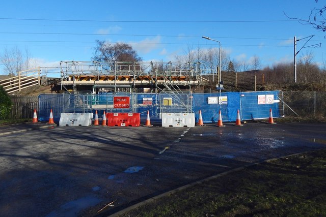
Image: © Lairich Rig Taken: 9 Feb 2018
The bridge carries the railway line over Castlegreen Street; the nearest station is Dumbarton East. The road heading off to the right leads to a sewage works: Image Those carrying out the work on the bridge were based nearby, beside the Image
Images are licensed for reuse under creativecommons.org/licenses/by-sa/2.0
Image Location
Latitude
55.939223
Longitude
-4.552496