Ivy Bridge near Astwood in Worcester
Introduction
The photograph on this page of Ivy Bridge near Astwood in Worcester by Roger D Kidd as part of the Geograph project.
The Geograph project started in 2005 with the aim of publishing, organising and preserving representative images for every square kilometre of Great Britain, Ireland and the Isle of Man.

There are currently over 7.5m images from over 14,400 individuals and you can help contribute to the project by visiting https://www.geograph.org.uk
Ivy Bridge near Astwood in Worcester
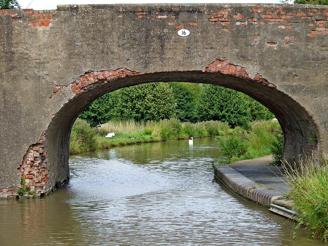
Image: © Roger D Kidd Taken: 21 Aug 2010
Originally a farmer's accommodation bridge, Ivy Bridge (No 16) is now used as a public footpath between housing on the right and fields and a golf course to the left.
Images are licensed for reuse under creativecommons.org/licenses/by-sa/2.0
Image Location
Latitude
52.214813
Longitude
-2.206912