Vestigial field boundary, north-east of Deanshanger
Introduction
The photograph on this page of Vestigial field boundary, north-east of Deanshanger by Christine Johnstone as part of the Geograph project.
The Geograph project started in 2005 with the aim of publishing, organising and preserving representative images for every square kilometre of Great Britain, Ireland and the Isle of Man.

There are currently over 7.5m images from over 14,400 individuals and you can help contribute to the project by visiting https://www.geograph.org.uk
Vestigial field boundary, north-east of Deanshanger
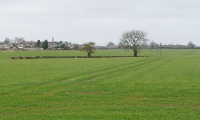
Image: © Christine Johnstone Taken: 13 Feb 2018
The fields have got bigger in this part of Northamptonshire. A public footpath follows this stretch of hedge.
Images are licensed for reuse under creativecommons.org/licenses/by-sa/2.0
Image Location
Latitude
52.056265
Longitude
-0.885981