Bend in the Dancing Hill pavement, Undy
Introduction
The photograph on this page of Bend in the Dancing Hill pavement, Undy by Jaggery as part of the Geograph project.
The Geograph project started in 2005 with the aim of publishing, organising and preserving representative images for every square kilometre of Great Britain, Ireland and the Isle of Man.

There are currently over 7.5m images from over 14,400 individuals and you can help contribute to the project by visiting https://www.geograph.org.uk
Bend in the Dancing Hill pavement, Undy
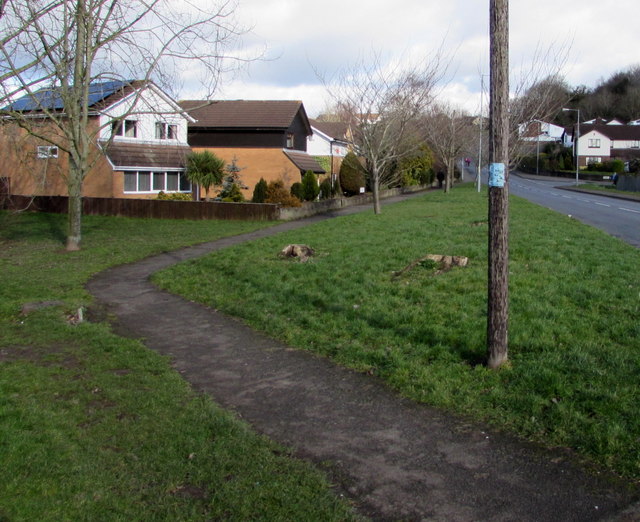
Image: © Jaggery Taken: 11 Feb 2018
On the west side of Dancing Hill viewed from the corner of Cowleaze. This part of Dancing Hill is in Undy. The southern part of the hill (behind the camera) is in Magor.
Images are licensed for reuse under creativecommons.org/licenses/by-sa/2.0
Image Location
Latitude
51.582618
Longitude
-2.828803