Sheep pasture
Introduction
The photograph on this page of Sheep pasture by Jonathan Wilkins as part of the Geograph project.
The Geograph project started in 2005 with the aim of publishing, organising and preserving representative images for every square kilometre of Great Britain, Ireland and the Isle of Man.

There are currently over 7.5m images from over 14,400 individuals and you can help contribute to the project by visiting https://www.geograph.org.uk
Sheep pasture
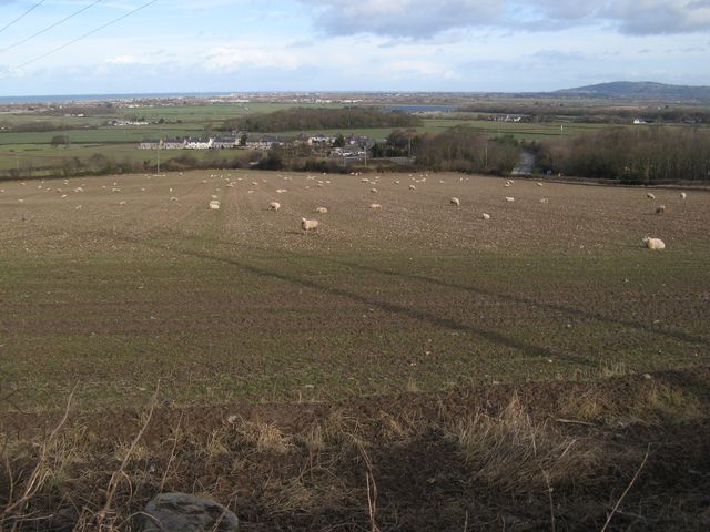
Image: © Jonathan Wilkins Taken: 12 Feb 2018
Long shadows from nearby pylons are thrown across the depleted pasture. The distant view takes in Bodtegwel and the new, lower end of Nant Ddu Road, although the A55 dual carriageway is neatly hidden in a cutting here. The surprise is the extensive solar energy facility, which looks like a lake (see Image).
Images are licensed for reuse under creativecommons.org/licenses/by-sa/2.0
Image Location
Latitude
53.27352
Longitude
-3.548881