New path leading down to St Augutine Webster R C School
Introduction
The photograph on this page of New path leading down to St Augutine Webster R C School by Chris Morgan as part of the Geograph project.
The Geograph project started in 2005 with the aim of publishing, organising and preserving representative images for every square kilometre of Great Britain, Ireland and the Isle of Man.

There are currently over 7.5m images from over 14,400 individuals and you can help contribute to the project by visiting https://www.geograph.org.uk
New path leading down to St Augutine Webster R C School
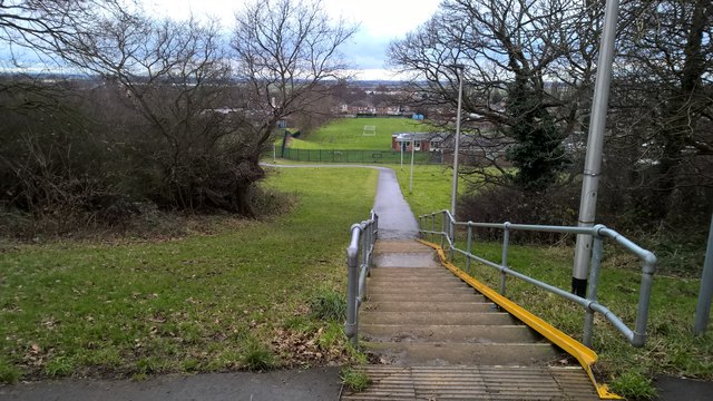
Image: © Chris Morgan Taken: 23 Jan 2018
And also in direction of Berkeley Infant and Junior schools, although the path doesn't show on maps as yet.
Images are licensed for reuse under creativecommons.org/licenses/by-sa/2.0
Image Location
Latitude
53.593717
Longitude
-0.674462