Field boundary by the B3314
Introduction
The photograph on this page of Field boundary by the B3314 by Derek Harper as part of the Geograph project.
The Geograph project started in 2005 with the aim of publishing, organising and preserving representative images for every square kilometre of Great Britain, Ireland and the Isle of Man.

There are currently over 7.5m images from over 14,400 individuals and you can help contribute to the project by visiting https://www.geograph.org.uk
Field boundary by the B3314
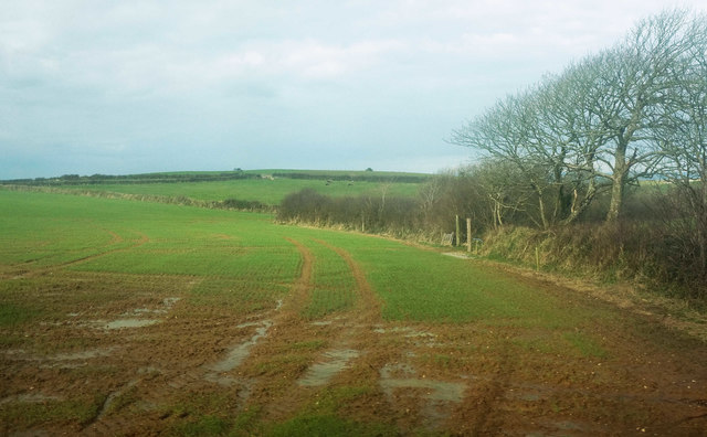
Image: © Derek Harper Taken: 5 Feb 2018
With a wet field containing a winter crop. The field boundary is followed by the parish boundary between St Endellion (this side) and St Kew. Footpath 537 13/2 crosses the field, starting from the corner to the right of the camera.
Images are licensed for reuse under creativecommons.org/licenses/by-sa/2.0
Image Location
Latitude
50.578824
Longitude
-4.800811