East side of St Andrew's Church, Frocester
Introduction
The photograph on this page of East side of St Andrew's Church, Frocester by Jaggery as part of the Geograph project.
The Geograph project started in 2005 with the aim of publishing, organising and preserving representative images for every square kilometre of Great Britain, Ireland and the Isle of Man.

There are currently over 7.5m images from over 14,400 individuals and you can help contribute to the project by visiting https://www.geograph.org.uk
East side of St Andrew's Church, Frocester
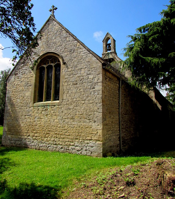
Image: © Jaggery Taken: 7 Aug 2016
The church is part of the Church of England Diocese of Gloucester. Formerly a chapel of ease dating from the 17th century, St Andrew's fell into a state of ruin after the Church of St Peter became the main village church in 1849. St Andrew's was extensively rebuilt in 1896-1897. After St Peter's Church was declared redundant in the early 1950s, St Andrew's became the Parish Church. St Andrew's was Grade II listed in 1955. https://www.geograph.org.uk/photo/5677104 to the south side of St Andrew's.
Images are licensed for reuse under creativecommons.org/licenses/by-sa/2.0
Image Location
Latitude
51.72728
Longitude
-2.312973