Down Oliphant Circle, Malpas, Newport
Introduction
The photograph on this page of Down Oliphant Circle, Malpas, Newport by Jaggery as part of the Geograph project.
The Geograph project started in 2005 with the aim of publishing, organising and preserving representative images for every square kilometre of Great Britain, Ireland and the Isle of Man.

There are currently over 7.5m images from over 14,400 individuals and you can help contribute to the project by visiting https://www.geograph.org.uk
Down Oliphant Circle, Malpas, Newport
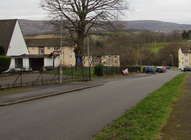
Image: © Jaggery Taken: 3 Feb 2018
Oliphant Circle descends past St Anne's Catholic Church on the left. https://www.geograph.org.uk/photo/3991504 The straight road shows that Oliphant Circle is a circle in name only. Its shape is more like an irregular rectangle.
Images are licensed for reuse under creativecommons.org/licenses/by-sa/2.0
Image Location
Latitude
51.617842
Longitude
-3.014904