Royal Observer Way
Introduction
The photograph on this page of Royal Observer Way by John Stephen as part of the Geograph project.
The Geograph project started in 2005 with the aim of publishing, organising and preserving representative images for every square kilometre of Great Britain, Ireland and the Isle of Man.

There are currently over 7.5m images from over 14,400 individuals and you can help contribute to the project by visiting https://www.geograph.org.uk
Royal Observer Way
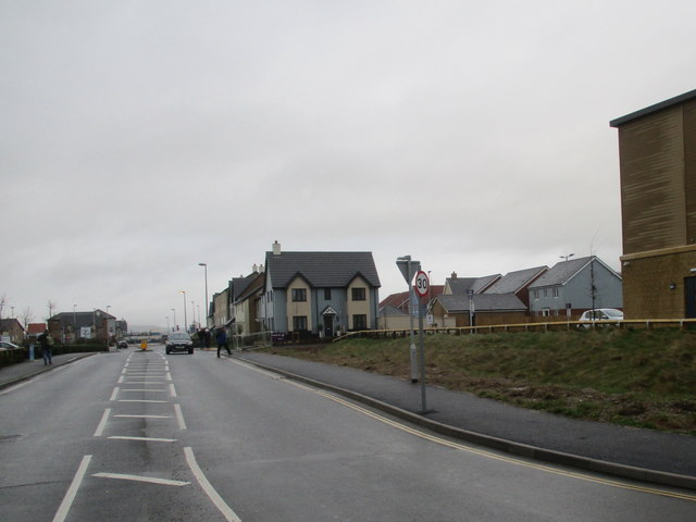
Image: © John Stephen Taken: 10 Feb 2018
New housing development with Tesco on the left and the newly opened Premier Inn on the right.
Images are licensed for reuse under creativecommons.org/licenses/by-sa/2.0
Image Location
Latitude
50.704676
Longitude
-3.065155