Gill's Lane
Introduction
The photograph on this page of Gill's Lane by Alan Walker as part of the Geograph project.
The Geograph project started in 2005 with the aim of publishing, organising and preserving representative images for every square kilometre of Great Britain, Ireland and the Isle of Man.

There are currently over 7.5m images from over 14,400 individuals and you can help contribute to the project by visiting https://www.geograph.org.uk
Gill's Lane
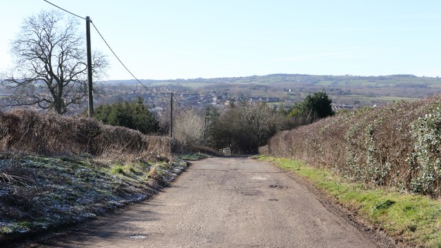
Image: © Alan Walker Taken: 7 Feb 2018
A walk around Grassmoor Image : Previous - (16 of 51) - Next : Image Gill's Lane is a private road along which there runs a public footpath. The housing in the distance, left and centre, is in Tupton.
Images are licensed for reuse under creativecommons.org/licenses/by-sa/2.0
Image Location
Latitude
53.195934
Longitude
-1.394791