Sluggards Row
Introduction
The photograph on this page of Sluggards Row by Alan Walker as part of the Geograph project.
The Geograph project started in 2005 with the aim of publishing, organising and preserving representative images for every square kilometre of Great Britain, Ireland and the Isle of Man.

There are currently over 7.5m images from over 14,400 individuals and you can help contribute to the project by visiting https://www.geograph.org.uk
Sluggards Row
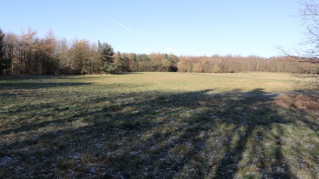
Image: © Alan Walker Taken: 7 Feb 2018
A walk around Grassmoor Image : Previous - (7 of 51) - Next : Image Looking in a northerly direction view in Grassmoor Country Park https://www.derbyshire.gov.uk/images/Grassmoor%20Country%20Park_tcm44-194014.pdf shows the approximate site of Sluggards Row. The term relates to a row of miners' cottages on East Street. Although the cottages were built just a few yards from Grassmoor Colliery, the occupants were always last to get into work and the name 'sluggards' stuck. https://derbyshire.gov.uk/leisure/countryside/access/greenways/audiotrails/grassmoor_country_park/default.asp
Images are licensed for reuse under creativecommons.org/licenses/by-sa/2.0
Image Location
Latitude
53.199586
Longitude
-1.388153