Blunsdon By-pass north site, Blunsdon 27.09.2007
Introduction
The photograph on this page of Blunsdon By-pass north site, Blunsdon 27.09.2007 by Brian Robert Marshall as part of the Geograph project.
The Geograph project started in 2005 with the aim of publishing, organising and preserving representative images for every square kilometre of Great Britain, Ireland and the Isle of Man.

There are currently over 7.5m images from over 14,400 individuals and you can help contribute to the project by visiting https://www.geograph.org.uk
Blunsdon By-pass north site, Blunsdon 27.09.2007
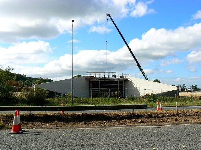
Image: © Brian Robert Marshall Taken: 27 Sep 2007
One of an occasional series looking at progress of this project. The bridge that will take the new by-pass over an access road is much further on than it was a month ago http://www.geograph.org.uk/photo/540539 It can be seen virtually completed here http://www.geograph.org.uk/photo/784670
Images are licensed for reuse under creativecommons.org/licenses/by-sa/2.0
Image Location


Leaflet Map data © OpenStreetMap
Latitude
51.617391
Longitude
-1.803234