Footbridge and land drain near Priestley farm
Introduction
The photograph on this page of Footbridge and land drain near Priestley farm by Robert Eva as part of the Geograph project.
The Geograph project started in 2005 with the aim of publishing, organising and preserving representative images for every square kilometre of Great Britain, Ireland and the Isle of Man.

There are currently over 7.5m images from over 14,400 individuals and you can help contribute to the project by visiting https://www.geograph.org.uk
Footbridge and land drain near Priestley farm
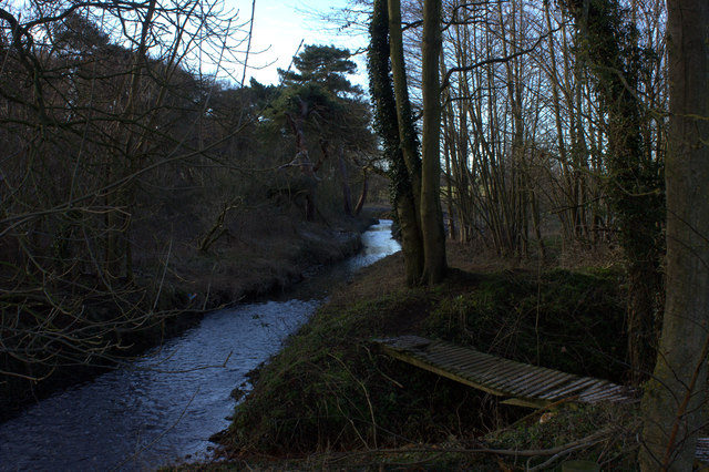
Image: © Robert Eva Taken: 7 Feb 2018
There is no public access to this bridge but the John Bunyan trail runs through the field next to it.
Images are licensed for reuse under creativecommons.org/licenses/by-sa/2.0
Image Location
Latitude
51.986085
Longitude
-0.514778