Conifer plantation
Introduction
The photograph on this page of Conifer plantation by Robert Graham as part of the Geograph project.
The Geograph project started in 2005 with the aim of publishing, organising and preserving representative images for every square kilometre of Great Britain, Ireland and the Isle of Man.

There are currently over 7.5m images from over 14,400 individuals and you can help contribute to the project by visiting https://www.geograph.org.uk
Conifer plantation
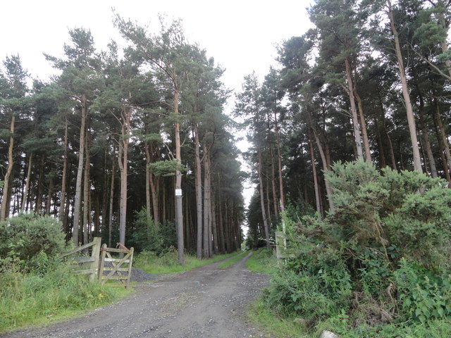
Image: © Robert Graham Taken: 26 Jul 2017
On the south side of Boundary Lane. A lot of conifers were planted in this area in the mid C19 after the enclosure of the former Newlands Common in 1808. It was thought to be a good use of the land, which was of low agricultural quality.
Images are licensed for reuse under creativecommons.org/licenses/by-sa/2.0
Image Location
Latitude
54.892298
Longitude
-1.888185