Side road alongside Bassaleg Road, Newport
Introduction
The photograph on this page of Side road alongside Bassaleg Road, Newport by Jaggery as part of the Geograph project.
The Geograph project started in 2005 with the aim of publishing, organising and preserving representative images for every square kilometre of Great Britain, Ireland and the Isle of Man.

There are currently over 7.5m images from over 14,400 individuals and you can help contribute to the project by visiting https://www.geograph.org.uk
Side road alongside Bassaleg Road, Newport
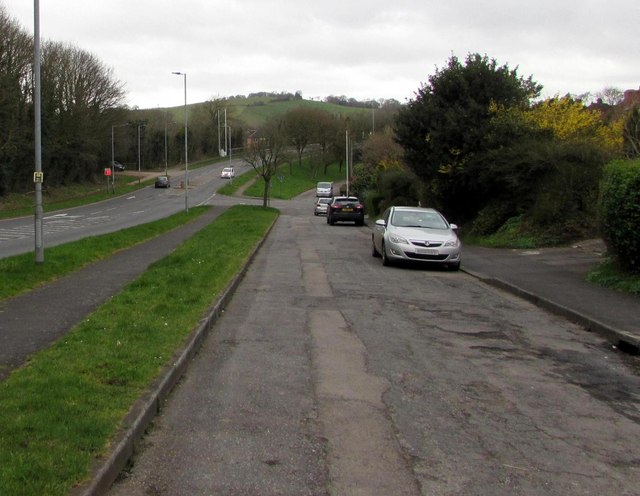
Image: © Jaggery Taken: 17 Mar 2017
Old maps shows that what is now a side road used to be the route of Bassaleg Road, now on the left. The road realignment probably occurred in the 1960s, during the construction of the nearby M4 motorway.
Images are licensed for reuse under creativecommons.org/licenses/by-sa/2.0
Image Location
Latitude
51.577421
Longitude
-3.030743