Higher Drove, Chilfrome
Introduction
The photograph on this page of Higher Drove, Chilfrome by Becky Williamson as part of the Geograph project.
The Geograph project started in 2005 with the aim of publishing, organising and preserving representative images for every square kilometre of Great Britain, Ireland and the Isle of Man.

There are currently over 7.5m images from over 14,400 individuals and you can help contribute to the project by visiting https://www.geograph.org.uk
Higher Drove, Chilfrome
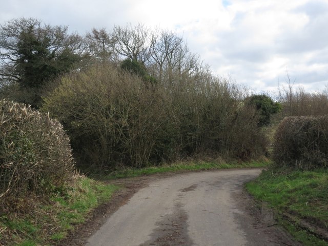
Image: © Becky Williamson Taken: 4 Feb 2018
The path on the left leads into Chilfrome and the road leads to Maiden Newton.
Images are licensed for reuse under creativecommons.org/licenses/by-sa/2.0
Image Location
Latitude
50.789889
Longitude
-2.589128