Allotments near Rainbow Hill in Worcester
Introduction
The photograph on this page of Allotments near Rainbow Hill in Worcester by Roger D Kidd as part of the Geograph project.
The Geograph project started in 2005 with the aim of publishing, organising and preserving representative images for every square kilometre of Great Britain, Ireland and the Isle of Man.

There are currently over 7.5m images from over 14,400 individuals and you can help contribute to the project by visiting https://www.geograph.org.uk
Allotments near Rainbow Hill in Worcester
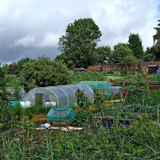
Image: © Roger D Kidd Taken: 21 Aug 2010
Extensive allotments are available between Lansdowne Crescent and the Worcester and Birmingham Canal. Not all plots are well tended according to aerial photographs c2017.
Images are licensed for reuse under creativecommons.org/licenses/by-sa/2.0
Image Location
Latitude
52.200502
Longitude
-2.216356