Lea Marston church cross
Introduction
The photograph on this page of Lea Marston church cross by Richard Law as part of the Geograph project.
The Geograph project started in 2005 with the aim of publishing, organising and preserving representative images for every square kilometre of Great Britain, Ireland and the Isle of Man.

There are currently over 7.5m images from over 14,400 individuals and you can help contribute to the project by visiting https://www.geograph.org.uk
Lea Marston church cross
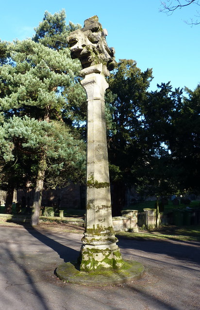
Image: © Richard Law Taken: 7 Feb 2018
A late 19th century sandstone cross, which formerly stood on a much more substantial stepped base, and was Grade II listed https://www.britishlistedbuildings.co.uk/101034678-cross-approximately-20-metres-south-west-of-church-of-st-john-the-baptist-lea-marston#.WnwE7Pll9hE in 1989. It sits in the middle of the road, just outside the church.
Images are licensed for reuse under creativecommons.org/licenses/by-sa/2.0
Image Location
Latitude
52.531608
Longitude
-1.700264