Open space with lime trees by Marriotts Walk, Stowmarket
Introduction
The photograph on this page of Open space with lime trees by Marriotts Walk, Stowmarket by Robin Stott as part of the Geograph project.
The Geograph project started in 2005 with the aim of publishing, organising and preserving representative images for every square kilometre of Great Britain, Ireland and the Isle of Man.

There are currently over 7.5m images from over 14,400 individuals and you can help contribute to the project by visiting https://www.geograph.org.uk
Open space with lime trees by Marriotts Walk, Stowmarket
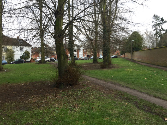
Image: © Robin Stott Taken: 5 Feb 2018
A paved path hugs the wall; a well-worn desire line takes a shorter route. This and the grounds of Abbot's Hall over the wall were shown on OS maps as Camping Land between 1927 and 1958, before the appearance of the Guides' Hut (behind the camera Image).
Images are licensed for reuse under creativecommons.org/licenses/by-sa/2.0
Image Location
Latitude
52.186598
Longitude
0.995113