The ramparts along Up Yonder!
Introduction
The photograph on this page of The ramparts along Up Yonder! by Neil Owen as part of the Geograph project.
The Geograph project started in 2005 with the aim of publishing, organising and preserving representative images for every square kilometre of Great Britain, Ireland and the Isle of Man.

There are currently over 7.5m images from over 14,400 individuals and you can help contribute to the project by visiting https://www.geograph.org.uk
The ramparts along Up Yonder!
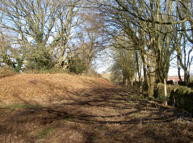
Image: © Neil Owen Taken: 7 Feb 2018
Bury Hill fort is flanked on the east by a lane to Up Yonder. The fort appears to have two sets of ramparts and ditches, the outer slightly higher than the inner; this has led to speculation that the fort was originally Iron Age and smaller, but later Roman era additions were made.
Images are licensed for reuse under creativecommons.org/licenses/by-sa/2.0
Image Location
Latitude
51.509754
Longitude
-2.501538