Drumlin farmland under grass on the east side of the A22
Introduction
The photograph on this page of Drumlin farmland under grass on the east side of the A22 by Eric Jones as part of the Geograph project.
The Geograph project started in 2005 with the aim of publishing, organising and preserving representative images for every square kilometre of Great Britain, Ireland and the Isle of Man.

There are currently over 7.5m images from over 14,400 individuals and you can help contribute to the project by visiting https://www.geograph.org.uk
Drumlin farmland under grass on the east side of the A22
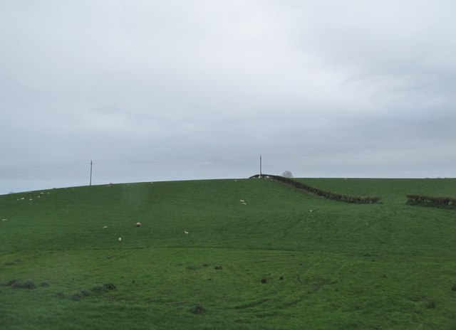
Image: © Eric Jones Taken: 22 Apr 2017
This farmland, which is also used in rotation for the growing of arable crops, is located south of Carrigullian Lough between Killyleagh and Balloo.
Images are licensed for reuse under creativecommons.org/licenses/by-sa/2.0
Image Location
Latitude
54.447181
Longitude
-5.664136