Newcastleton - a 'model village'
Introduction
The photograph on this page of Newcastleton - a 'model village' by David Purchase as part of the Geograph project.
The Geograph project started in 2005 with the aim of publishing, organising and preserving representative images for every square kilometre of Great Britain, Ireland and the Isle of Man.

There are currently over 7.5m images from over 14,400 individuals and you can help contribute to the project by visiting https://www.geograph.org.uk
Newcastleton - a 'model village'
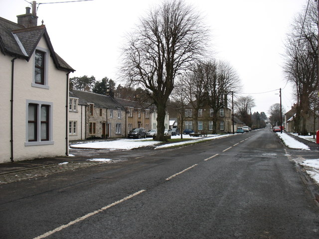
Image: © David Purchase Taken: 7 Feb 2018
Newcastleton (originally Copshaw Holm) is a model village established by the third Duke of Buccleuch in 1793. This shot shows the northern end of the village with the B6357 forming the High Street,
Images are licensed for reuse under creativecommons.org/licenses/by-sa/2.0
Image Location
Latitude
55.182328
Longitude
-2.81091