Court Barn
Introduction
The photograph on this page of Court Barn by HelenK as part of the Geograph project.
The Geograph project started in 2005 with the aim of publishing, organising and preserving representative images for every square kilometre of Great Britain, Ireland and the Isle of Man.

There are currently over 7.5m images from over 14,400 individuals and you can help contribute to the project by visiting https://www.geograph.org.uk
Court Barn
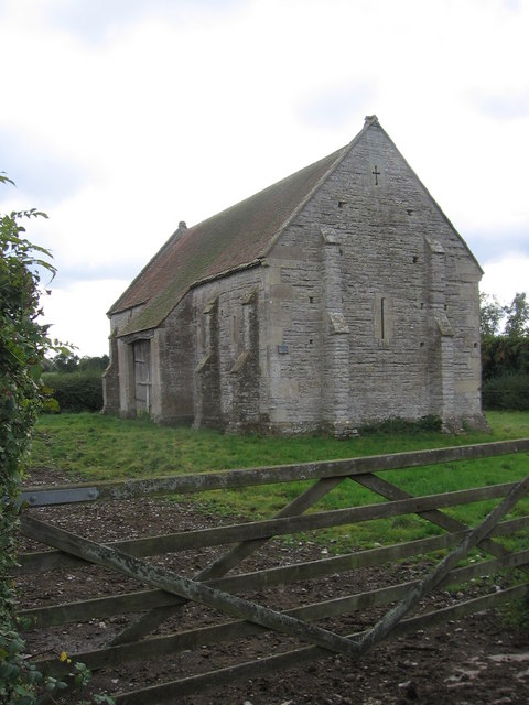
Image: © HelenK Taken: 26 Sep 2007
According to the Wikipedia entry https://en.wikipedia.org/wiki/West_Pennard_Court_Barn this barn dates from the late 14th or early 15th century. The niches which can be seen here were intended for birds as the structure originally incorporated a dovecote.
Images are licensed for reuse under creativecommons.org/licenses/by-sa/2.0
Image Location
Latitude
51.131015
Longitude
-2.648624