The Chestnuts, Houghton - February 2018
Introduction
The photograph on this page of The Chestnuts, Houghton - February 2018 by The Carlisle Kid as part of the Geograph project.
The Geograph project started in 2005 with the aim of publishing, organising and preserving representative images for every square kilometre of Great Britain, Ireland and the Isle of Man.

There are currently over 7.5m images from over 14,400 individuals and you can help contribute to the project by visiting https://www.geograph.org.uk
The Chestnuts, Houghton - February 2018
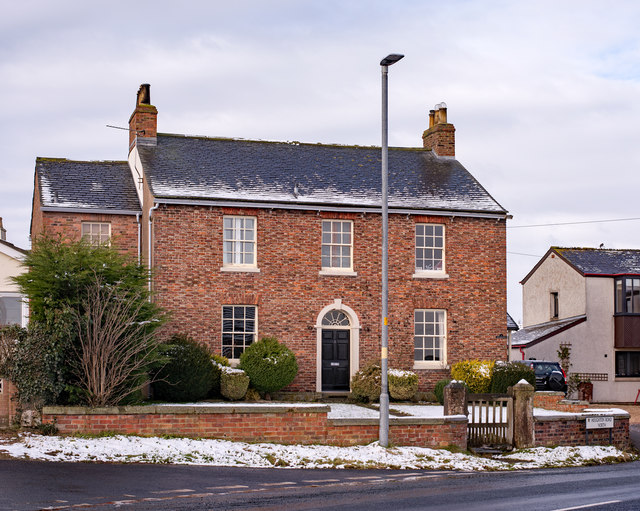
Image: © The Carlisle Kid Taken: 6 Feb 2018
The 1973 OS Map shows this fine Georgian town house named "The Chestnuts", but there is no name on the building now. Private dwelling with no public access.
Images are licensed for reuse under creativecommons.org/licenses/by-sa/2.0
Image Location
Latitude
54.926303
Longitude
-2.924654