Building site, Dover Road
Introduction
The photograph on this page of Building site, Dover Road by John Baker as part of the Geograph project.
The Geograph project started in 2005 with the aim of publishing, organising and preserving representative images for every square kilometre of Great Britain, Ireland and the Isle of Man.

There are currently over 7.5m images from over 14,400 individuals and you can help contribute to the project by visiting https://www.geograph.org.uk
Building site, Dover Road
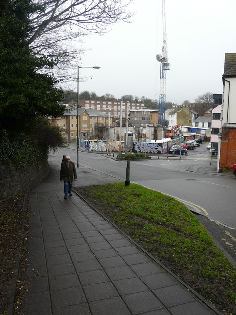
Image: © John Baker Taken: 23 Jan 2018
Planning permission has been approved, with conditions, by Folkestone and Hythe District Council under application number Y15/1241/SH for a “multi-storey sports park to include boxing club, skate shop, offices, cafe, three levels of skate park, climbing wall, bouldering room, flexible function space, refuse facilities, cycle parking, car parking and hard landscaping”. The location was given as land adjoining The Cube & land opposite 100 Tontine Street. This image of the Image was taken in October 2016.
Images are licensed for reuse under creativecommons.org/licenses/by-sa/2.0
Image Location
Latitude
51.082235
Longitude
1.181519