Drainage works, Upper Newtownards Road, Belfast (February 2018)
Introduction
The photograph on this page of Drainage works, Upper Newtownards Road, Belfast (February 2018) by Albert Bridge as part of the Geograph project.
The Geograph project started in 2005 with the aim of publishing, organising and preserving representative images for every square kilometre of Great Britain, Ireland and the Isle of Man.

There are currently over 7.5m images from over 14,400 individuals and you can help contribute to the project by visiting https://www.geograph.org.uk
Drainage works, Upper Newtownards Road, Belfast (February 2018)
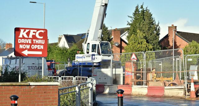
Image: © Albert Bridge Taken: 6 Feb 2018
See Image Work continued until suspended just before Christmas 2017. A NI Water notice to local householders advised “Works will then recommence in early January and we anticipate that all final sections of work in the area will be completed by Spring 2018”. This work is close to the Belmont Church Road and Knockhill (Knock Hill on the Google map) Park. The bus lanes are suspended for the duration.
Images are licensed for reuse under creativecommons.org/licenses/by-sa/2.0
Image Location
Latitude
54.594898
Longitude
-5.86304