Looking west along Boundaey Lane
Introduction
The photograph on this page of Looking west along Boundaey Lane by Robert Graham as part of the Geograph project.
The Geograph project started in 2005 with the aim of publishing, organising and preserving representative images for every square kilometre of Great Britain, Ireland and the Isle of Man.

There are currently over 7.5m images from over 14,400 individuals and you can help contribute to the project by visiting https://www.geograph.org.uk
Looking west along Boundaey Lane
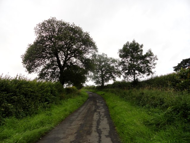
Image: © Robert Graham Taken: 26 Jul 2017
This country lane west of Ebchester is named because it formed the boundary between the Whittonstall and Newlands Estates, and probably dates from the 1808 Commons Enclosure Act.
Images are licensed for reuse under creativecommons.org/licenses/by-sa/2.0
Image Location
Latitude
54.892459
Longitude
-1.86932