Windyhead Rx
Introduction
The photograph on this page of Windyhead Rx by Anne Burgess as part of the Geograph project.
The Geograph project started in 2005 with the aim of publishing, organising and preserving representative images for every square kilometre of Great Britain, Ireland and the Isle of Man.

There are currently over 7.5m images from over 14,400 individuals and you can help contribute to the project by visiting https://www.geograph.org.uk
Windyhead Rx
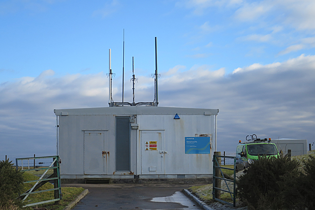
Image: © Anne Burgess Taken: 5 Feb 2018
This is a NATS (National Air Traffic Service) receiving station. Its name is well deserved because it is on a very exposed spot.
Images are licensed for reuse under creativecommons.org/licenses/by-sa/2.0
Image Location
Latitude
57.646174
Longitude
-2.317278