Track to Standing Loch
Introduction
The photograph on this page of Track to Standing Loch by Anne Burgess as part of the Geograph project.
The Geograph project started in 2005 with the aim of publishing, organising and preserving representative images for every square kilometre of Great Britain, Ireland and the Isle of Man.

There are currently over 7.5m images from over 14,400 individuals and you can help contribute to the project by visiting https://www.geograph.org.uk
Track to Standing Loch
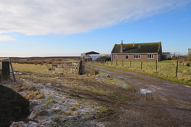
Image: © Anne Burgess Taken: 5 Feb 2018
Somewhere down this track is, or perhaps was, a tiny pond named on the maps as Standing Loch. It was too cold to go investigating today with a brisk breeze and the temperature hovering just above 0ºC!
Images are licensed for reuse under creativecommons.org/licenses/by-sa/2.0
Image Location
Latitude
57.643926
Longitude
-2.318263