Gladstone Swingbridge at Sunderland Docks
Introduction
The photograph on this page of Gladstone Swingbridge at Sunderland Docks by Mat Fascione as part of the Geograph project.
The Geograph project started in 2005 with the aim of publishing, organising and preserving representative images for every square kilometre of Great Britain, Ireland and the Isle of Man.

There are currently over 7.5m images from over 14,400 individuals and you can help contribute to the project by visiting https://www.geograph.org.uk
Gladstone Swingbridge at Sunderland Docks
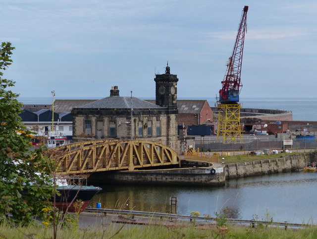
Image: © Mat Fascione Taken: 27 Aug 2017
Constructed in 1862, this bridge separates North Half Tide Basin and the Hudson Dock.
Images are licensed for reuse under creativecommons.org/licenses/by-sa/2.0
Image Location
Latitude
54.912242
Longitude
-1.361843