Footpath Near Eynsham
Introduction
The photograph on this page of Footpath Near Eynsham by Nigel Mykura as part of the Geograph project.
The Geograph project started in 2005 with the aim of publishing, organising and preserving representative images for every square kilometre of Great Britain, Ireland and the Isle of Man.

There are currently over 7.5m images from over 14,400 individuals and you can help contribute to the project by visiting https://www.geograph.org.uk
Footpath Near Eynsham
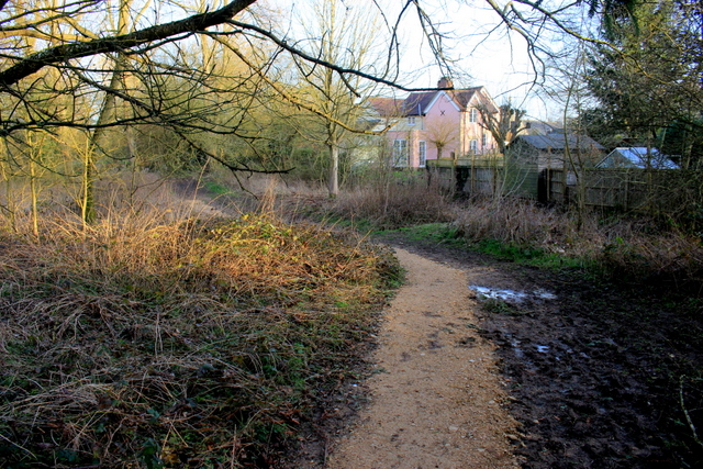
Image: © Nigel Mykura Taken: 1 Mar 2017
This footpath runs along low lying land just adjacent to the Chil Brook which is just on the right of the picture. Consequently it is very muddy and a large amount of crushed stone has been added to improve the walking surface.
Images are licensed for reuse under creativecommons.org/licenses/by-sa/2.0
Image Location
Latitude
51.777566
Longitude
-1.376837