Layer upon layer until the water
Introduction
The photograph on this page of Layer upon layer until the water by Neil Owen as part of the Geograph project.
The Geograph project started in 2005 with the aim of publishing, organising and preserving representative images for every square kilometre of Great Britain, Ireland and the Isle of Man.

There are currently over 7.5m images from over 14,400 individuals and you can help contribute to the project by visiting https://www.geograph.org.uk
Layer upon layer until the water
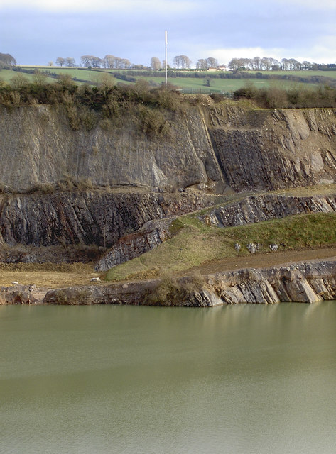
Image: © Neil Owen Taken: 2 Feb 2018
Wick quarry reveals its many sediments and strata.
Images are licensed for reuse under creativecommons.org/licenses/by-sa/2.0
Image Location
Latitude
51.456585
Longitude
-2.417334