Houses at West Kennett
Introduction
The photograph on this page of Houses at West Kennett by Robin Webster as part of the Geograph project.
The Geograph project started in 2005 with the aim of publishing, organising and preserving representative images for every square kilometre of Great Britain, Ireland and the Isle of Man.

There are currently over 7.5m images from over 14,400 individuals and you can help contribute to the project by visiting https://www.geograph.org.uk
Houses at West Kennett
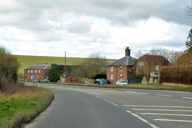
Image: © Robin Webster Taken: 2 Feb 2018
Set back from the main A4 because the old bend has been eased.
Images are licensed for reuse under creativecommons.org/licenses/by-sa/2.0
Image Location


Leaflet Map data © OpenStreetMap
Latitude
51.414239
Longitude
-1.839336