Brown field development site on the eastern banks of the Comber River
Introduction
The photograph on this page of Brown field development site on the eastern banks of the Comber River by Eric Jones as part of the Geograph project.
The Geograph project started in 2005 with the aim of publishing, organising and preserving representative images for every square kilometre of Great Britain, Ireland and the Isle of Man.

There are currently over 7.5m images from over 14,400 individuals and you can help contribute to the project by visiting https://www.geograph.org.uk
Brown field development site on the eastern banks of the Comber River
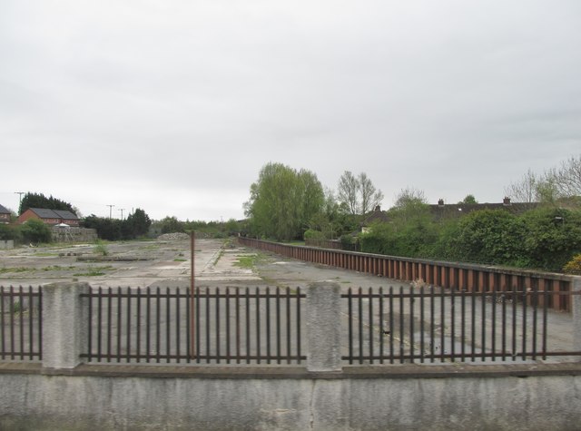
Image: © Eric Jones Taken: 22 Apr 2017
This is the site of the demolished Airstep Factory. In the 19thC it was the site of a distillery.
Images are licensed for reuse under creativecommons.org/licenses/by-sa/2.0
Image Location
Latitude
54.550248
Longitude
-5.739863