St Kew Highway
Introduction
The photograph on this page of St Kew Highway by Derek Harper as part of the Geograph project.
The Geograph project started in 2005 with the aim of publishing, organising and preserving representative images for every square kilometre of Great Britain, Ireland and the Isle of Man.

There are currently over 7.5m images from over 14,400 individuals and you can help contribute to the project by visiting https://www.geograph.org.uk
St Kew Highway
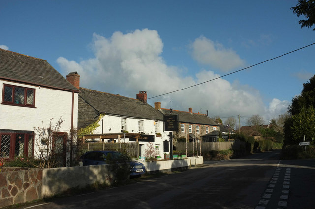
Image: © Derek Harper Taken: 1 Feb 2018
The main village street passes the junction with Allen Park (right). In the centre is the Red Lion http://www.geograph.org.uk/search.php?i=81217486 .
Images are licensed for reuse under creativecommons.org/licenses/by-sa/2.0
Image Location
Latitude
50.546906
Longitude
-4.777743