The Hughenden Stream is Dry
Introduction
The photograph on this page of The Hughenden Stream is Dry by Des Blenkinsopp as part of the Geograph project.
The Geograph project started in 2005 with the aim of publishing, organising and preserving representative images for every square kilometre of Great Britain, Ireland and the Isle of Man.

There are currently over 7.5m images from over 14,400 individuals and you can help contribute to the project by visiting https://www.geograph.org.uk
The Hughenden Stream is Dry
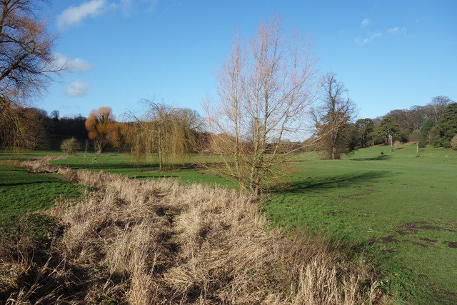
Image: © Des Blenkinsopp Taken: 25 Jan 2018
The Hughenden Stream, a tributary of the River Wye, is an intermittent chalk stream which only flows when groundwater levels in the surrounding Chiltern Hills are high enough. 2017 has been a relatively dry year and the aquifer hasn't recharged enough to maintain a flow. In other years this channel can be full and overflowing.
Images are licensed for reuse under creativecommons.org/licenses/by-sa/2.0
Image Location
Latitude
51.643024
Longitude
-0.751904