Aber Llwchwr / Loughor Estuary
Introduction
The photograph on this page of Aber Llwchwr / Loughor Estuary by Alan Richards as part of the Geograph project.
The Geograph project started in 2005 with the aim of publishing, organising and preserving representative images for every square kilometre of Great Britain, Ireland and the Isle of Man.

There are currently over 7.5m images from over 14,400 individuals and you can help contribute to the project by visiting https://www.geograph.org.uk
Aber Llwchwr / Loughor Estuary
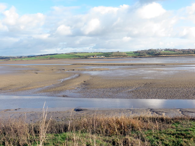
Image: © Alan Richards Taken: 2 Feb 2018
Llanw isel yn Aber Llwchwr. Y ffarm yn y pellter yw Cwrt y Carne. Low tide on the Loughor Estuary. The farm in the distance is Cwrt y Carne (trans. court of cairns).
Images are licensed for reuse under creativecommons.org/licenses/by-sa/2.0
Image Location


Leaflet Map data © OpenStreetMap
Latitude
51.685905
Longitude
-4.079702