Labour Club bus stop and shelter, Penygraig
Introduction
The photograph on this page of Labour Club bus stop and shelter, Penygraig by Jaggery as part of the Geograph project.
The Geograph project started in 2005 with the aim of publishing, organising and preserving representative images for every square kilometre of Great Britain, Ireland and the Isle of Man.

There are currently over 7.5m images from over 14,400 individuals and you can help contribute to the project by visiting https://www.geograph.org.uk
Labour Club bus stop and shelter, Penygraig
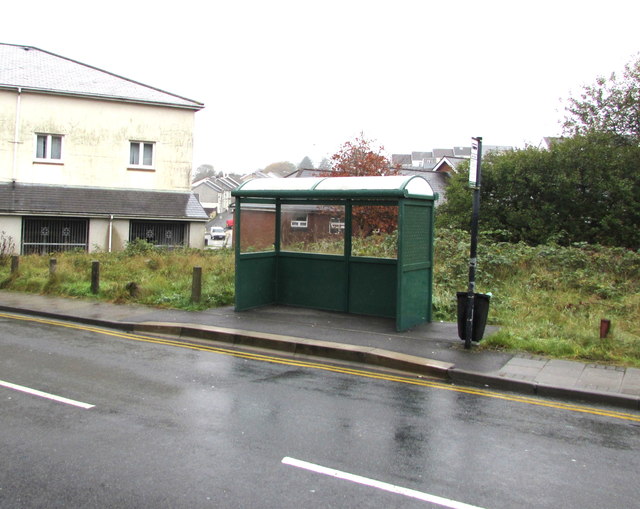
Image: © Jaggery Taken: 26 Oct 2017
Alongside the B4278 Penygraig Road near Penygraig Labour Club. https://www.geograph.org.uk/photo/5575970 In October 2017, the bus stop sign shows four routes - 122 to Cardiff via Royal Glamorgan Hospital & Talbot Green, 152 to Tonyrefail, 153 to Gilfach Goch & Evanstown, 172 to Bridgend & Porthcawl.
Images are licensed for reuse under creativecommons.org/licenses/by-sa/2.0
Image Location
Latitude
51.612132
Longitude
-3.44776