Swinbrook direction and distance sign in Fulbrook, West Oxfordshire
Introduction
The photograph on this page of Swinbrook direction and distance sign in Fulbrook, West Oxfordshire by Jaggery as part of the Geograph project.
The Geograph project started in 2005 with the aim of publishing, organising and preserving representative images for every square kilometre of Great Britain, Ireland and the Isle of Man.

There are currently over 7.5m images from over 14,400 individuals and you can help contribute to the project by visiting https://www.geograph.org.uk
Swinbrook direction and distance sign in Fulbrook, West Oxfordshire
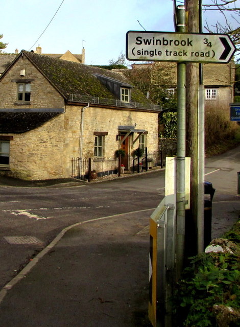
Image: © Jaggery Taken: 16 Jan 2018
Facing the A361, the sign is for Beech Grove https://www.geograph.org.uk/photo/5667679 three-quarters of a mile from Swinbrook.
Images are licensed for reuse under creativecommons.org/licenses/by-sa/2.0
Image Location
Latitude
51.814584
Longitude
-1.625256