Winnard's Perch
Introduction
The photograph on this page of Winnard's Perch by Derek Harper as part of the Geograph project.
The Geograph project started in 2005 with the aim of publishing, organising and preserving representative images for every square kilometre of Great Britain, Ireland and the Isle of Man.

There are currently over 7.5m images from over 14,400 individuals and you can help contribute to the project by visiting https://www.geograph.org.uk
Winnard's Perch
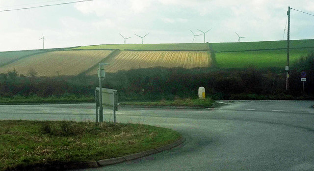
Image: © Derek Harper Taken: 31 Jan 2018
The roundabout is at the crossroads of the A39 with the B3274, seen on the right heading off towards Padstow. The partly sunlit fields are in Image, and the wind farm is in Image
Images are licensed for reuse under creativecommons.org/licenses/by-sa/2.0
Image Location
Latitude
50.459548
Longitude
-4.921561