Normandy Arms Blackawton
Introduction
The photograph on this page of Normandy Arms Blackawton by Brian Whittle as part of the Geograph project.
The Geograph project started in 2005 with the aim of publishing, organising and preserving representative images for every square kilometre of Great Britain, Ireland and the Isle of Man.

There are currently over 7.5m images from over 14,400 individuals and you can help contribute to the project by visiting https://www.geograph.org.uk
Normandy Arms Blackawton
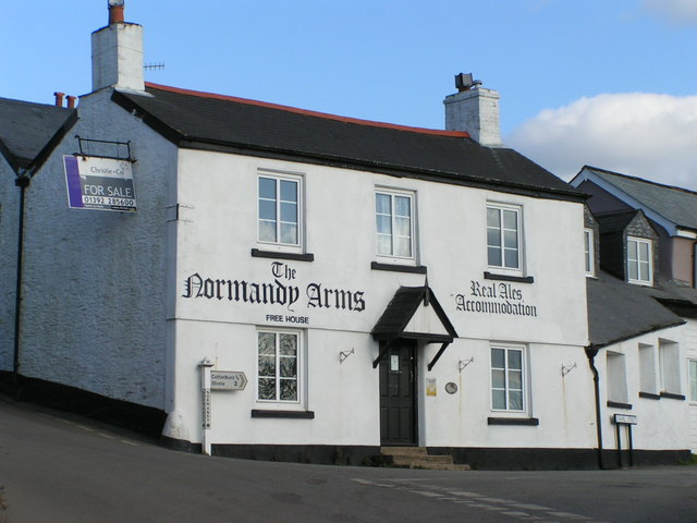
Image: © Brian Whittle Taken: 9 Feb 2006
Former pub up for sale in 2006. It did reopen as a pub but has closed down again in the last couple of years, I believe.
Images are licensed for reuse under creativecommons.org/licenses/by-sa/2.0
Image Location


Leaflet Map data © OpenStreetMap
Latitude
50.346699
Longitude
-3.67864